Urban Network Analysis toolbox for Rhino3D
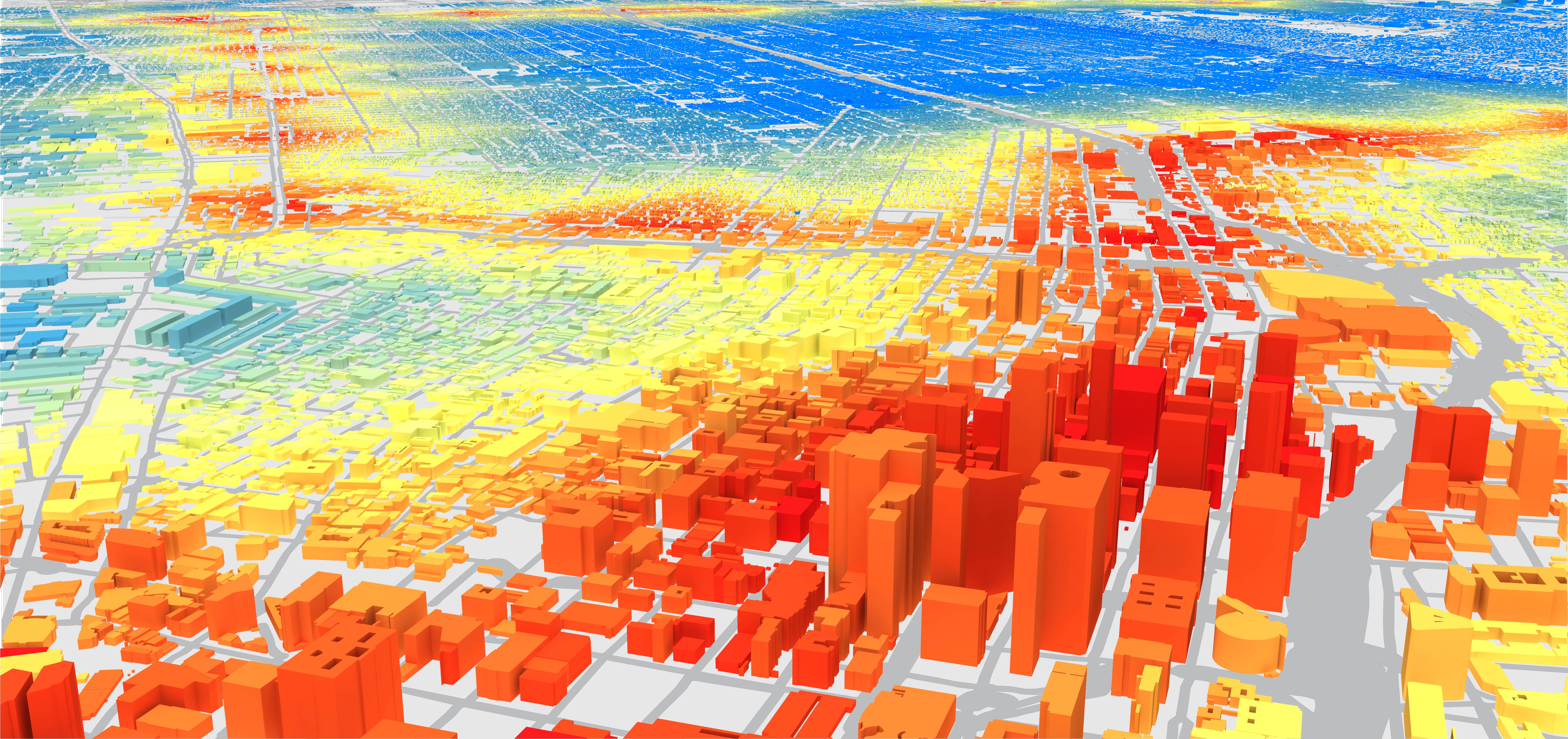
Urban Network Analysis (UNA) Rhino toolbox offers powerful methods for analyzing spatial accessibility, pedestrian or bicycle flows, facility patronage along spatial networks and/or the effects of pedestrian or bike infrascture improvements on non-motorized access and flow. Having the UNA toolbox inRhino 7 also makes spatial network analysis tools available to planners and architects, who work on modifying urban environments, allowing one to not only analyze how a specific spatial network or built environment performs, but to also incorporate the analysis into a fast and iterative design/planning process, where networks can be designed, evaluated and redesigned in seamless cycles to rapidly improve the outcome.
The use of the toolbox is free for both non-profit and for-profit work under the License of Creative Commons Attribution-NoDerivatives 4.0 International.City Form Lab team
| Andres Sevtsuk | Raul Kalvo |
| Lab director | Lead developer |
Related papers
Sevtsuk, A., Basu, R., & Chancey, B. (2021). We shape our buildings, but do they then shape us? A longitudinal analysis of pedestrian flows and development activity in Melbourne. PLOS ONE. https://doi.org/10.1371/journal.pone.0257534
Sevtsuk, A. (2021). Estimating pedestrian flows on street networks: revisiting the betweenness index. Journal of the American Planning Association, Online Fir. https://doi.org/10.1080/01944363.2020.1864758
Sevtsuk, A., & Kalvo, R. (2021). Predicting pedestrian flow along city streets: A comparison of route choice estimation approaches in downtown San Francisco. International Journal of Sustainable Transportation. https://doi.org/10.1080/15568318.2020.1858377
Sevtsuk, A., Li, X., Basu, R., & Kalvo, R. (2021). A big data approach to understanding pedestrian route choice preferences - Evidence from San Francisco. Travel Behavior and Society, 25(October), 41–51. https://doi.org/https://doi.org/10.1016/j.tbs.2021.05.010
Sevtsuk, A. (2022). Integrar los entornos informales: un ejemplo de priorización de las rutas peatonales hacia las paradas del tren ligero en Surabaya, Indonesia. (Informing the Informal: A Case of Prioritizing Walking Routes to Light Rail Stops in Surabaya, Indonesia.). In Informing the Informal. Inter-American Development Bank. https://www.researchgate.net/publication/356789070
Sevtsuk, A. (2018) Urban Network Analysis: Tools for Modeling Pedestrian and Bicycle Trips in Cities. Harvard GSD.
Sevtsuk, A., Kalvo, R., & Ekmekci, O. (2016). Pedestrian accessibility in grid layouts: the role of block, parcel and street dimensions. Urban Morphology, 20(2), 89–106.
Sevtsuk, A., & Kalvo, R. (2017). Patronage of urban commercial clusters: a network-based extension of the Huff model for balancing location and size. Environment and Planning B: Urban Analytics and City Science., 0(0), 1–21.
Sevtsuk, A., & Mekonnen, M. (2012). Urban Network Analysis Toolbox. International Journal of Geomatics and Spatial Analysis, 22(2), 287–305.
Sevtsuk, A. (2014). Location and Agglomeration: the Distribution of Retail and Food Businesses in Dense Urban Environments. Journal of Planning Education and Research, 34(4), 374–393.
Sevtsuk, A. (2014). Networks of the built environment. In D. Ofenhuber & C. Ratti (Eds.), Decoding the City: Urbanism in the Age of Big Data (p. 192). Birkhäuser.
Sevtsuk, A. (2010). Path and Place: A Study of Urban Geometry and Retail Activity in Cambridge and Somerville, MA. PhD dissertation, Massachusetts Institute of Technology, Cambridge, MA.
Sevtsuk, A. (2014). “Redundant Paths for Urban Network Analysis” presentation paper at the ESRI GeoDesign Summit. ESRI. Retrieved from https://www.youtube.com/watch?v=z-mvtjaz9sk
Tutorial videos
1. UNA Rhino Installation (3min).
Covers the necessary steps for downloading and installing the UNA tools for Rhino.
2. UNA Rhino Introduction (15min).
Provides a general introduction to different UNA tools, including how to set up and clean networks, add origins and destinations, run basic accessibility analysis and save results.
3. Analyzing spatial accessibility with the UNA Rhino toolbox (19min).
Covers the concepts behind and demonstrates applied examples of measuring spatial accessibility using the Reach, Gravity and Straightness metrics.
4. Modeling pedestrian flows with the UNA Rhino betweenness tool. (33 min)
Describes the Betweenness metric, which can be used for modeling pedestrian flows between origins and destinations in built environments.5. Finding Closest Facilities and Estimating Facility Patronage (17min).
Introduces two separate tools for estimating the use of spatial facilities over networks: Closest Facility and Facility Patronage. The Closest Facility tool can summarize how many origin points or origin point weights are closest to each facility in a given set of facilities, and optionally computes the gravity access values for the facilities. The Find Patronage tool uses a discrete choice model to allocate origin point weights to competing destinations based on their proximity and attractiveness.